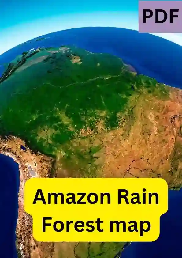
Amazon Rain Forest Map | PDF
Here, we are going to share the Amazon Rain Forest map PDF with you. Also we will share the basic details like PDF Size, No. of Pages…etc along with the PDF Summary.
The Amazon Rainforest map showcases the largest and most biodiverse tropical rainforest on Earth, covering a vast expanse of South America. Stretching across nine countries, the Amazon Rainforest map encompasses Brazil, Peru, Colombia, Venezuela, Ecuador, Bolivia, Guyana, Suriname, and French Guiana. On the map, the Amazon River stands out as the lifeblood of this vast ecosystem, winding its way through the heart of the rainforest.
Full Description …
Amazon Rain Forest Map | PDF Overview
| PDF Title | Amazon Rain Forest Map PDF |
| Language | English |
| File Size | 573 KB |
| Total Pages | 1 |
| Category | Maps |
| Sources | Internet |
| Quality | Printable |
Share Now--
Report This: We do not own the copyrights to this PDF file. It is available for free download, likely uploaded by users or found on public domains, and is intended for educational purposes. If this infringes on copyrights, please Report us via comment section or reach us at Here, and it will be removed within 24 hours.
Explore More PDFs

Hyderabad City Map PDF | Free Download
World Map High Resolution | PDF

बिहार का मानचित्र PDF Free Download

Boston Subway Map PDF Free Download
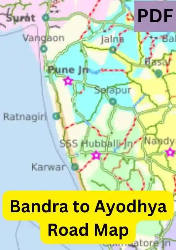
Bandra to Ayodhya Road Map | PDF

MTA Subway Map PDF Free Download
